Space in Time: Landscape narratives and land management changes in a Southern African cross-border region
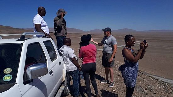
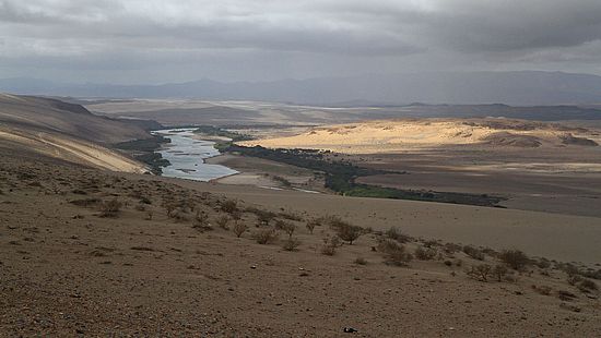
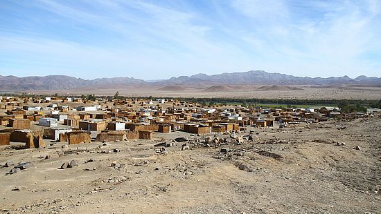
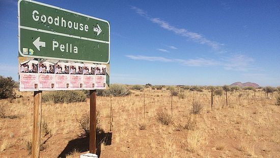
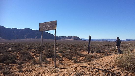
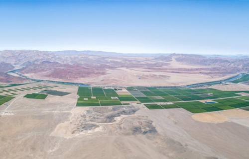
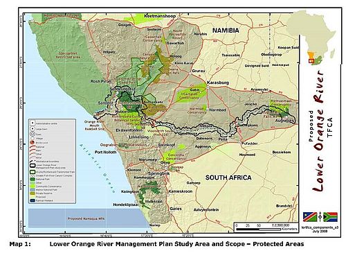
Space in Time is an interdisciplinary joint research project which aims at developing a feasible, interdisciplinary methodology that merges different data produced by distinct research practices (geography, history, and environmental science). The project’s geographical focus is the lower Gariep (Orange River) in the South African/Namibian border region, the historical Namaqualand. The area is currently experiencing a new chapter in a long and complex history of changing land use and resource management. Increasing global economic integration as well as apartheid-motivated delimitations of commercial farms and labour reserve economies have most prominently influenced land use and the social organisation of society in the region. Currently, large-scale agriculture and nature conservation projects dominate land use in this post-apartheid cross-border region. These large-scale projects are contested by those who claim their own rights to land and land use, among them formerly disadvantaged and often very poor communities living in Namaqualand.
Given its diverse history and the often conflictual articulation of multiple land claims, the region provides an ideal starting point for an analysis of different narratives around land use and management. Placing these narratives in a broader historical and socio-political perspective furthermore allows for a more balanced discussion of land use that aims to transcend some of the antagonisms between the various stake holders, local, national and international ones.
Central in this respect are what we call interdisciplinary “landscape archives.” By this we mean a conceptual and practical tool which considers the materiality and discursiveness of landscape and hence looks at evidence of landscape narratives and representations, the physical environment (e.g. soil profiles with regard to radionuclide concentration, visual (3-D) data on soil erosion and accumulation etc.), archival documentation (e.g. written, visual and map material), oral (re-) collections and local/indigenous knowledge. We propose such an archive to become an integrated research tool, for example as a (theorised) digital platform and database. Here the purpose is to construct an archive of the landscape that generates and supplies scientific data gathered in close communication with selected local and regional actors, and design it as a tool applicable and accessible beyond the limitations of the research project itself.
Project team
Maano Ramutsindela (Environmental & Geographical Science, University of Cape Town)
Giorgio Miescher, Luregn Lenggenhager (Centre for African Studies, University of Basel)
Klaus Kuhn, Lena Bloemertz, Phil Greenwood, Brigitte Kuhn (Department of Environmental Science, University of Basel)
Martha Akawa (Geography, History, Environmental Studies and Tourism Management, University of Namibia)
Dag Henrichsen (Basler Afrika Bibliographien)
Ndidzulafhi Innocent Sinthumule (University of Venda)
Funding
Swiss National Science Foundation / Swiss-South Africa Joint Research Programme
South African National Research Foundation
Duration
June 2017- May 2021

